
Walk a Culver City Street by Address
A useful Culver City street directory starts with the physical address, then moves through records that answer different questions. The Assessor ties it to a parcel and AIN. GIS adds jurisdiction, the recorder identifies deed parties, permits date work, and older directories add publication-era names. A voter status tool is personal verification, not a public street list.
- Search the address in the Los Angeles County Assessor Portal. Save AIN, situs, use, building, value, legal, and map clues; the public view omits owner and mailing fields.
- Open Culver City’s Accela_XAPO parcel layer. Turn on Parcels, Addresses, and City Boundary, click the address, and confirm
CC. - Use the LA County voter verifier only for an entitled check. It requires last name, birthdate, house number, and ZIP Code; a failure can be an input mismatch.
- Take the current assessee or owner and likely year to the RR/CC name-and-year index, which is not arranged by street address.
- Add permits and reverse-directory entries as dated clues. Neither alone establishes present occupancy.
Culver City Street Records at a Glance
Culver City address records are split among county custodians and city systems. The parcel number bridges the Assessor and GIS; the legal description and document number bridge the parcel to a deed. Permits use a city address and record number, while tax bills follow their own cycle. Keep the address form, AIN, date checked, and record type in a source log.
| Address Record | Keeper | What It Shows | Access |
|---|---|---|---|
| Parcel assessment | LA County Assessor | Situs, AIN, use, building, value, exemption, and legal clues | Free address/AIN search; ownership by inquiry or counter |
| City parcel GIS | Culver City | Owner fields, mailing versus situs, nearby parcels, sales, zoning, and hazards | Official ArcGIS layer; 1,000 records per response |
| Recorded instruments | LA County RR/CC | Grantor, grantee, recording number, date, and legal description | Physical name/year index; copies by order; no address search |
| Permit history | Culver City Accela | Project, applicant, contractor, owner field, status, inspections, and dates | Portal search and CPRA or counter request |
| Property taxes | LA County Treasurer and Tax Collector | Bill, payment status, delinquency process, and timing clues | County tax inquiry; display may lag ownership |
The chain is strongest when parcel and legal description agree. A mailing address may belong elsewhere. A deed proves a transaction, not residence.
Search the Culver City Assessor Roll
The LA County Assessor Portal offers Basic Search, Legal Search, and Map Search. Its combined field is labeled “Search by AIN or Address” and accepts a ten-digit AIN or a street address. There is no unrestricted public owner-name search. When the owner is needed, county guidance points to an Assessor office, a call, or a Specific Property inquiry using the AIN or complete address. Property Data Sales is another county channel, but the public parcel page remains the best first stop for a street directory search.
An August 16, 2026 parcel inspection showed situs, use and status, tax-rate area, dates, exemptions, design class, units, beds and baths, building area and year built, land size, zoning referral, legal description, values, and parcel-map links. Recent Parcel Change Activity covered only the prior 24 months. Parcel maps are assessment aids, not boundary surveys.
Open Culver City GIS Street Layer
The city’s official Accela_XAPO service is built from county parcel data. On August 16, 2026, it exposed first and second owner fields plus separate situs and mailing fields that the county portal suppresses. Other fields covered AIN/APN, status, acreage, zoning, land use, historic and hazard flags, values, exemptions, sales, improvements, and legal descriptions.
| GIS Control | Type | Required | Notes |
|---|---|---|---|
| Pan and zoom | Map | No | Browse a street or block. |
| Address or place search | Text/geocoder | No | Navigate to the subject. |
| Click or select parcel | Identify | No | Opens parcel attributes. |
| Layer list | Checkboxes | No | City Boundary, Parcels, and Addresses. |
| Attribute filter or query | SQL-capable query | No | Standardized SQL, order, and distinct are supported. |
| Spatial or distance query | Geometry plus distance | No | Supports radius and neighboring-parcel extraction. |
| Pagination | Result control or API | Conditional | Maximum 1,000 records per response. |
The service reported exceededTransferLimit: true after a broad query passed the 1,000-row ceiling. Narrow by CC, extent, street, or distance, then paginate. The owner fields are a current observation, not a permanent promise.
The official Culver City parcel feature service supplies the clearest street-browse view of the city boundary and nearby records.
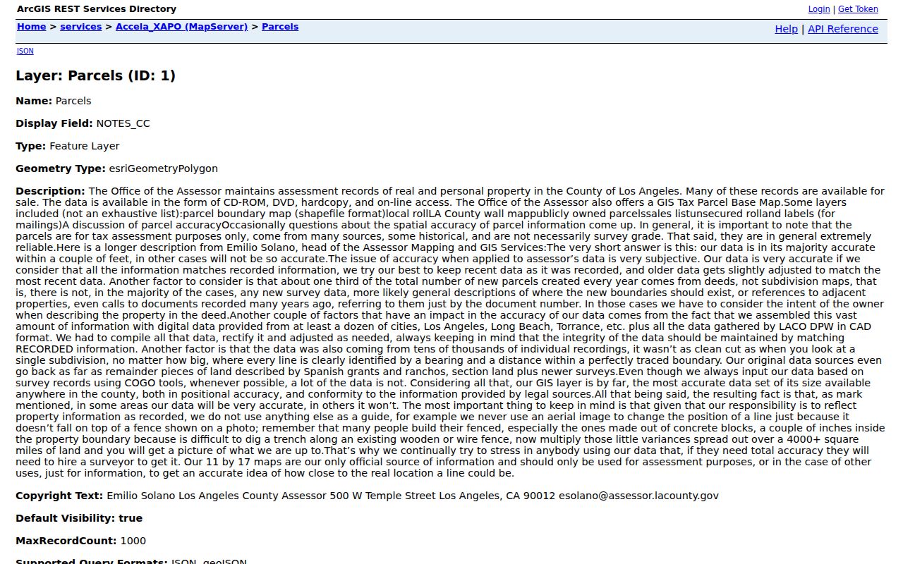
The map is most useful when its owner, mailing, jurisdiction, and legal fields are copied into a research note before the next custodian is consulted.
Culver City Street Address Identities
One street address can carry several identities. Situs is the parcel’s physical location. Mailing is where assessment correspondence goes and may point to an office, PO box, trust, or other property. A legal description identifies land through tract, lot, or recorded lines. An AIN ties county assessment data together. A plat maps lots and land divisions, but does not turn assessment geometry into a survey.
- Parcel
- A distinct assessment unit assigned an AIN and a set of land and improvement attributes.
- Situs address
- The physical address assigned to the place, separate from the destination for tax mail.
- Plat
- A map of a subdivision or land division used as a legal and research reference.
- Legal description
- The recorded land identity that can remain useful when street names, numbers, or city lines change.
- Criss-cross directory
- A street-order directory that turns an address into a printed name or subscriber clue for its publication year.
Keep the terms apart. Tax mail may go elsewhere, and an old directory may print a different locality. Legal description and document number are safer long-term anchors than a copied street string.
Trace Culver City Street Deeds by Name
Los Angeles County deeds are public, but the grantor and grantee index is not a public Internet database. RR/CC indexes are alphabetical by party name and recording year, cannot be searched by street address, and are not exposed by the web copy route. Start with the current assessee, then take the likely name and year to the physical index.
Norwalk is the historical center. One page describes documents from 1851, while copy pages describe 1850 to present, so use 1850/1851 to present. Material from 1851 to 1957 is on the lower level; 1958 to present is on the second floor. Appointments are required, and county pages differ on whether bookings open two or three weeks ahead.
The RR/CC recording guidance and copy routes cover the alternatives. LexisNexis orders process within 20 working days but do not expose the index. In-person copies require an appointment. Mail goes to Real Estate Records, P.O. Box 1130, Norwalk, CA 90651-1130, with title, names, and years. Fax goes to 562-864-1250 with delivery and card details. There are no telephone orders. The LAX/Courthouse branch issues 1982 to present copies; historical index work remains at Norwalk.
Published fees are $6 plus $3 per added certified page; plain copies are $5 plus $3. Searches cost $0.50 per name per year with a $1 minimum, UPS is $18.50, and card service is $1.75.
The Los Angeles County recorded-document page is the appropriate lead-in to the current RR/CC access screen.
A deed gives named parties, recording data, and land identity. It does not turn a title chain into a household list.
Date Culver City Changes With Permits
Culver City’s 24/7 online permit portal launched November 18, 2024 for Building, Planning, Engineering, Fire, and Cannabis services. It advertises applications, fee payment, plan-check corrections, status, inspections, and permit-history search. Separate applications cover Building, Mechanical, Electrical, Plumbing, Demo, and Solar. An address may auto-populate a parcel number and owner field; a recent change uses a Change of Ownership checkbox and uploaded grant deed. Completed applications receive a permit number.
Permit data dates an alteration, not a household. A result can identify an applicant, contractor, or owner field and show status or inspection activity, but it cannot prove that a named person lived at the address. Account requirements, dynamic search behavior, and a blocked automated inspection leave some anonymous historic-search fields, exports, and start dates unresolved.
The city’s Building permit application workflow shows the address and parcel bridge used by the city’s records system.
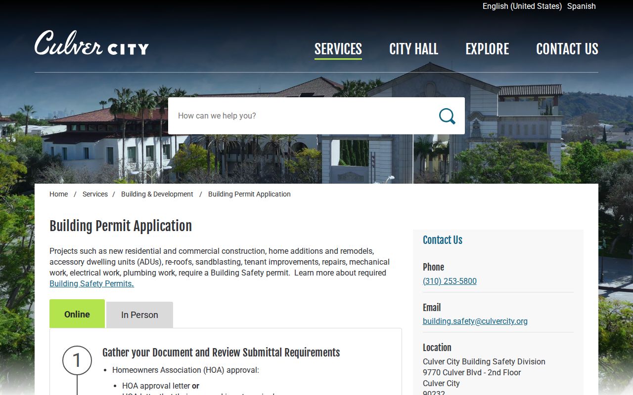
When a portal result is missing, the Culver City City Clerk routes requests for permits, certificates of occupancy, code and fire violations, site plans, and related records by mail, email, in person, or portal. The city states a disclosure determination within 10 days, with an unusual-circumstances extension up to 14 calendar days after written notice. Electronic records are free; older guidance lists paper at $0.15 while the FY2025-26 schedule lists $0.10.
Read Culver City Reverse Directories
Older directories make a Culver City street directory historical. LAPL’s city and street collections span 1875 to 1987 overall; city and business scans cover 1873 to 1970, and reverse runs include 1906, 1927, and 1956 to 1987 with uneven coverage. The Library of Congress has a Culver City white- and yellow-pages run from January 1935 through June 1945. It omits unlisted households and people without phone service.
Directory marks matter. An entry may place r before a residence, and OCR searches can work better with a pattern such as h443 N Av 52 than with a bare street number. Numbered avenues, abbreviations, and variants such as “Bway” can sort in unexpected ways, so browse the printed street section when a text search fails. The LOC volume combines the heading “CULVER CITY-PALMS,” making “Palms” a useful historical search term alongside Culver City.
Physical holdings fill gaps. LAPL Central has directory microfilm and paper volumes, while the Culver City Historical Society collects phone directories from any decade and seeks local yearbooks. The fuller collection map belongs with the Culver City city directory collections, not the modern parcel chain.
Culver City Street Occupancy Clues
The Homeowners’ Exemption adds context to a parcel. The county requires the owner to own and occupy the dwelling as a principal residence on January 1. It reduces taxable assessed value by $7,000, roughly $70 in annual tax savings. That is stronger evidence of a claimed principal residence than a separate mailing address, but it does not identify every person in the household. Its absence proves nothing about the people at the site.
Tax timing matters too. The first annual bill after a sale may still display the former owner, and a supplemental bill may issue roughly three months to one year later. City GIS can show current owner and mailing fields while the county parcel page omits them. That current observation is not a reason to treat either source as a complete resident roll.
The Los Angeles County property-tax inquiry is the source for bill and payment status when a street record needs a tax-timing check.
The tax record can place a transaction in time, but it cannot convert a tax mailing destination into proof of a current occupant.
Culver City Street Boundary Checks
A postal city is a delivery label, not an incorporation line. Culver City grew from 1.203125 square miles, or 770 acres, at incorporation on September 17, 1917 to roughly five square miles through more than forty annexations. The city context study counts 33 annexations from 1948 to 1977, so a postal line may meet a different custodian.
Check USPS address verification against the city boundary layer before requesting a permit or city code file. ZIP Code 90230 reaches western and southern Culver City, including Fox Hills, but extends beyond the city. ZIP Code 90232 covers central and eastern areas and also crosses the municipal context. A small 90066 edge relationship is another warning. Filter GIS by CC, then retain the AIN and legal description even if the locality differs.
The USPS ZIP Code Lookup confirms delivery geography, while Culver City’s property information resources confirm the municipal side of the address. Planning handles formal address-assignment applications. An AIN, legal description, and jurisdiction field together make a safer handoff than a postal label alone.
What a Culver City Street Search Omits
Parcel systems center on land and named parties. They do not publish a complete list of non-owner occupants, household members, delivery or utility customers, or DMV address holders. Reverse directories are snapshots, permits name project parties, and voter records are regulated. None should become a claim about everyone on a street.
LA County’s voter verifier requires last name, birthdate, residence house number, and ZIP Code. Broader access is limited under Elections Code sections 2188 and 2194, Government Code section 7924.000, and 2 CCR section 19001. A statewide file is $100; a specific-voter request is $30 per record up to $100, allows ten identified voters, and states 7 to 14 business days. It cannot become a request for everyone on a street. Protected voters and Safe at Home addresses are excluded.
The LA County voter verification form is a personal status check, not a street directory. An approved file may contain residence, mailing, precinct, registration, status, and party preference. Election history can show date and method, never ballot choice.
Lawful use. Culver City address and parcel records support personal, lawful research, family history, and civic curiosity. Do not use a street directory to stalk, harass, intimidate, or harm anyone; verify important claims with the custodian that holds the record.